Mapping
With drones, we can now map large areas cost-effectively while providing exceptional accuracy and detail.
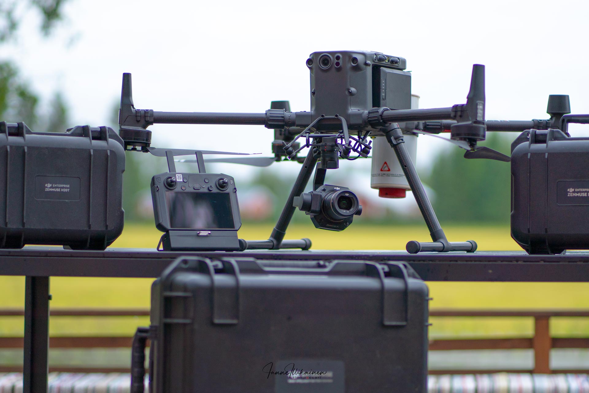
Imaging technology
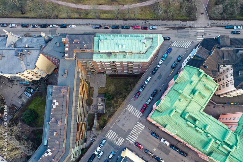
Drones fly at low altitude and therefore collect extremely accurate image data. Images captured from multiple different positions are combined using advanced software and algorithms into a single continuous orthophoto. This process corrects optical and perspective distortions and takes terrain elevation differences into account.
Utilization of orthophotos
Orthophotos are valuable tools in many different fields. In addition to 3D models, orthophotos (2D) are available in common formats such as .TIFF, .TIF, and .JPEG.
- Urban and landscape planning: Designers gain a realistic view of the area under development.
- Agriculture: Farmers analyze vegetation conditions and soil properties.
- Environmental protection: Monitor changes in ecosystems accurately.
- Real estate and construction: Visualize and present properties realistically.
- Earthworks: Planning, monitoring, and management become more accurate. We can measure terrain elevation differences and calculate excavation and fill requirements.
Cost-effectiveness
Drone mapping is not only accurate, but also cost-effective. Mapping large areas, which previously required significant time and resources, can now be performed faster, more affordably, and with greater accuracy. This reduces project-related costs and makes access to accurate data more attainable than ever.
Finally
Accurate, cost-effective, and fast mapping is within your reach. The data available through drone technology helps you make informed decisions, plan future projects, and manage current ones efficiently. Orthophotos are just one part of the extensive data now available, revolutionizing many industries and the way they operate.
Contact us
Would you like more information about our services? Feel free to contact our team.
References