Drone laser scanning
Drone laser scanning is a method where a laser scanner mounted on a drone measures distances to a target with high precision, producing a detailed 3D point cloud. SK Drones Oy provides drone laser scanning for construction, infrastructure, energy and environmental projects throughout Finland.
How does drone laser scanning differ from photogrammetry?
While photogrammetry is a widely used and respected method for 3D modeling, drone laser scanning brings certain unique features that make it an excellent alternative in specific conditions. Laser scanning is capable of collecting data with remarkable accuracy and detail, which is especially valuable in challenging environments and complex sites.
Photogrammetry is still a very effective and reliable tool for many applications, but the advantage of laser scanning lies in its ability to perform exceptionally well under varying lighting conditions. This makes laser scanning a flexible solution capable of producing high-quality data even in challenging weather conditions.
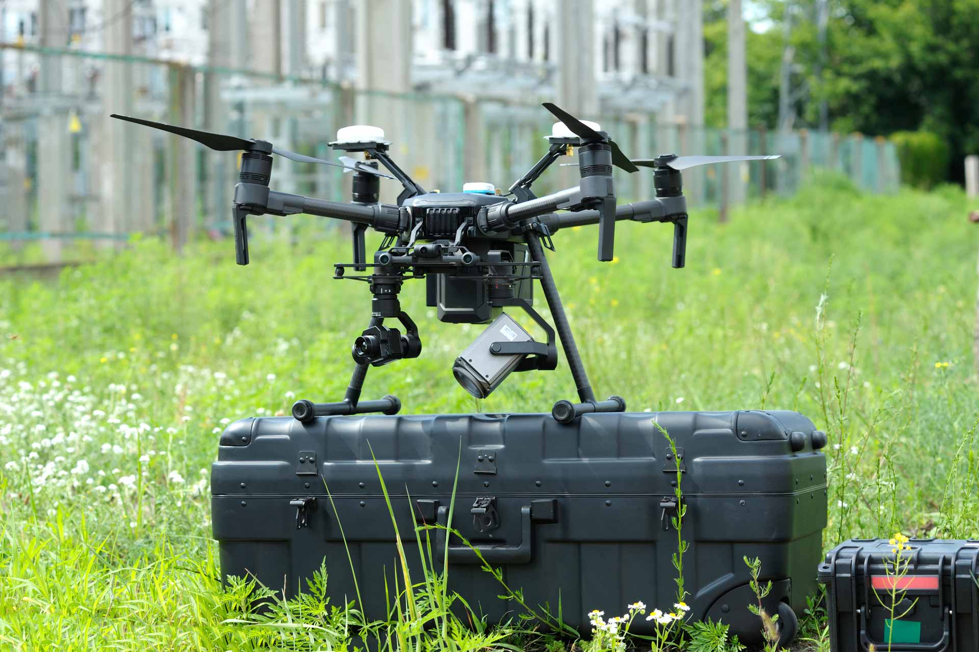
Applications
Our drone laser scanning service is ideal for a wide range of applications, including:
- Construction and infrastructure projects:
- Laser scanning helps designers and engineers create accurate 3D models of construction sites and infrastructure.
- Agriculture and forestry:
- Analysis of terrain, vegetation, and forests improves land use, yield, and planning.
- Environmental and ecology fields:
- We collect accurate data about nature, soil, and waterways.
- Mining and energy sectors:
- We map terrain; measurement and analysis support resource management and environmental protection.
- Cultural heritage and archaeology:
- Laser scanning enables accurate documentation of historical sites, landscapes, and buildings without physical contact.
Benefits
- Accuracy and reliability:
- Drone laser scanning provides excellent accuracy, reliability, and detail. We can also collect data from hard-to-reach locations.
- Cost efficiency:
- You can save time and money by using drone laser scanning instead of traditional methods. It is a fast and cost-effective way to collect valuable data.
- Safety:
- Personnel and environmental safety is our top priority. Drone laser scanning minimizes human exposure to hazardous or challenging working conditions.
- Environmental friendliness:
- Our method is minimally invasive, reducing environmental disturbance and impact.
- Versatile data analysis:
- The data we collect can be integrated into multiple different software systems, enabling versatile analysis and visualization.
Our research and development work continues so that we can always offer our customers the best possible information and service. Contact us today and discover how drone laser scanning can add value to your project or organization!
Frequently Asked Questions
What does drone laser scanning mean?
In drone laser scanning, a laser scanner mounted on the drone measures distances to a target with very high precision and produces a three-dimensional point cloud that can be used for design, measurement and analysis.
Where does SK Drones offer laser scanning services?
We provide drone laser scanning across Finland. We have pilots in Helsinki, Tampere, Jyväskylä and Oulu, and we also carry out projects outside these cities as well as within the EU when needed.
How does drone laser scanning differ from photogrammetry?
Photogrammetry is based on photographs and works best in good lighting, while laser scanning measures distances with a laser beam and performs reliably even in variable lighting and weather conditions and through dense vegetation. Laser scanning is also more accurate than photogrammetry, but also more expensive – the right choice depends on the requirements and budget of the project.
Who is drone laser scanning suitable for?
The service is especially suited for construction and infrastructure projects, environmental and ecological research, mining and energy sector surveys, and precise documentation of cultural heritage and archaeological sites without physical contact.
What are the benefits of drone laser scanning compared to traditional survey methods?
Laser scanning produces highly accurate and reliable point cloud data even from hard-to-reach sites, saves time and cost compared with traditional ground surveys, reduces staff exposure to hazardous working conditions, and produces data that can be used directly in a wide range of design and analysis software.
How accurate is drone laser scanning?
Accuracy depends on the equipment used and flight altitude, but laser scanning enables centimeter-level accuracy even in challenging conditions and areas with dense vegetation.
How long does a laser scanning project take?
The flight itself usually takes a few hours to a day depending on the size of the site, and the finished point cloud data is typically delivered within a few business days of the flight.
How much does drone laser scanning cost?
Pricing depends on the size and location of the site and the required accuracy level. We always provide a free, project-specific quote before starting.
Does SK Drones have the necessary permits for laser scanning?
Yes. SK Drones has operated under Traficom’s Specific Category authorization (SORA methodology) since 2018, allowing safe and compliant flight operations even in more demanding locations.
Contact us
Would you like more information about our services? Feel free to contact our team.
References