Photogrammetry carried out with a drone
As technology develops rapidly, so do the opportunities it offers in many fields, especially in surveying and geospatial mapping. One significant advancement is the combination of drone-based photogrammetry and GNSS-RTK positioning. But what exactly does this mean, and why is it so revolutionary?
Drone-Based Photogrammetry: Our Eyes in the Sky
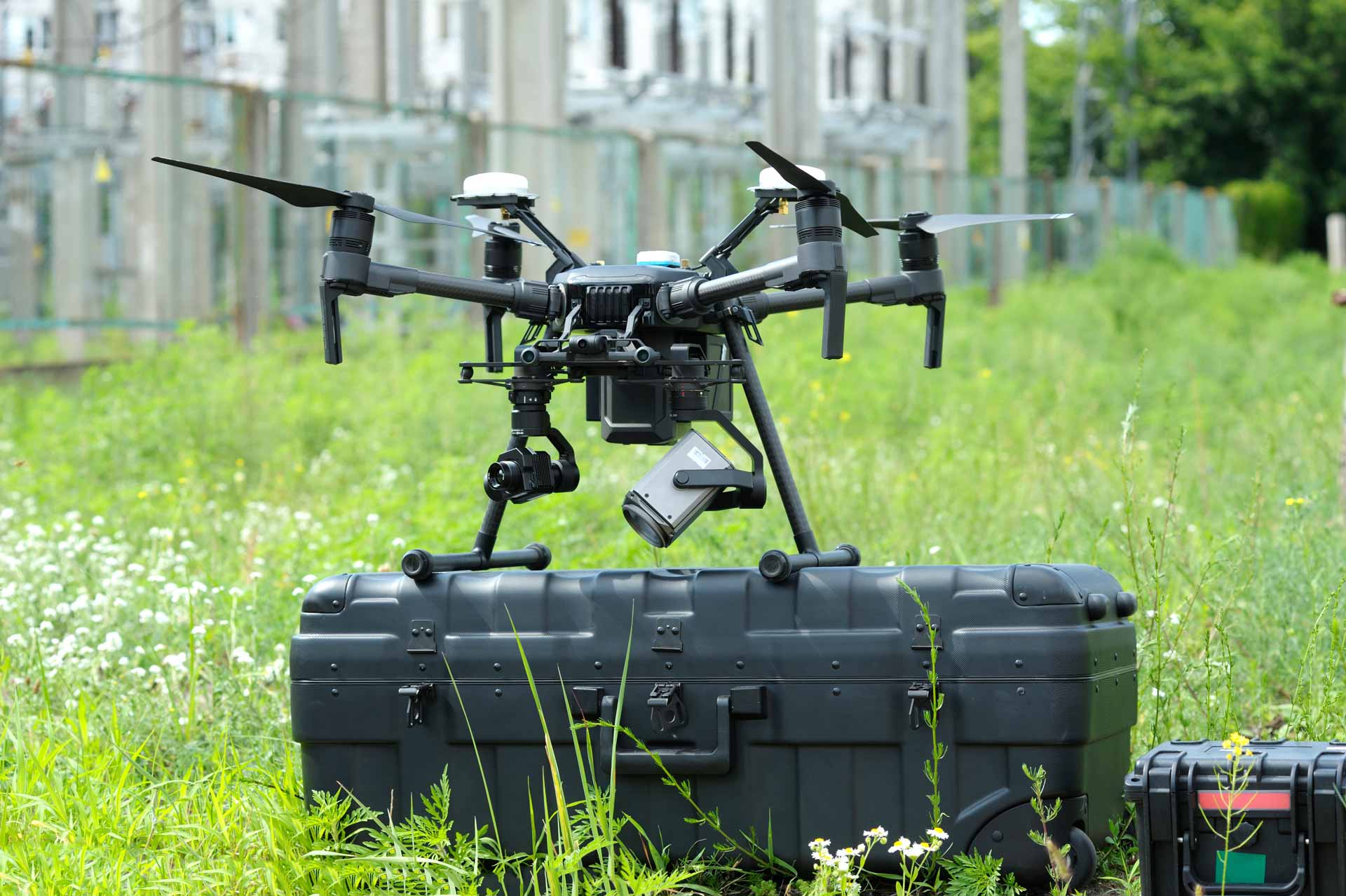
Drones have revolutionized the way we can capture and model the Earth. They fly along predetermined routes and take a series of images of the ground surface from different angles. These images can then be combined using photogrammetry software, which creates a large orthomosaic image or a three-dimensional model of the target.
GNSS-RTK: Highly Precise Positioning
GNSS-RTK is a satellite positioning method that provides highly accurate measurement results in real time. When a drone is equipped with a GNSS-RTK receiver, precise coordinates are attached to each captured image. This enables the images to be positioned with extreme accuracy within the ground coordinate system.
GSD: Why Is It Important?
Ground Sampling Distance (GSD) is one of the key metrics when evaluating the accuracy of drone-based photogrammetry. It indicates how much ground area one pixel in the image covers. At best, with certain drone models and cameras, it is possible to achieve sub-centimeter GSD values, while on average GSD values typically range from 1 to 5 cm. GNSS-RTK does not have a direct effect on the GSD value, but it improves the accuracy of georeferencing, enhancing the efficiency of the entire mapping process.
Conclusion
The combination of GNSS-RTK and drone-based photogrammetry provides a new and extremely accurate way to collect geospatial data. Whether it is a construction project, environmental research, or urban planning, this technology enables data to be collected quickly, efficiently, and with very high accuracy. Step by step, with the help of technology, we are becoming increasingly capable of understanding and modeling the world around us.