Orthophotos in land use planning
Why municipalities and cities should invest in accurate orthophotos – the foundation of future land use
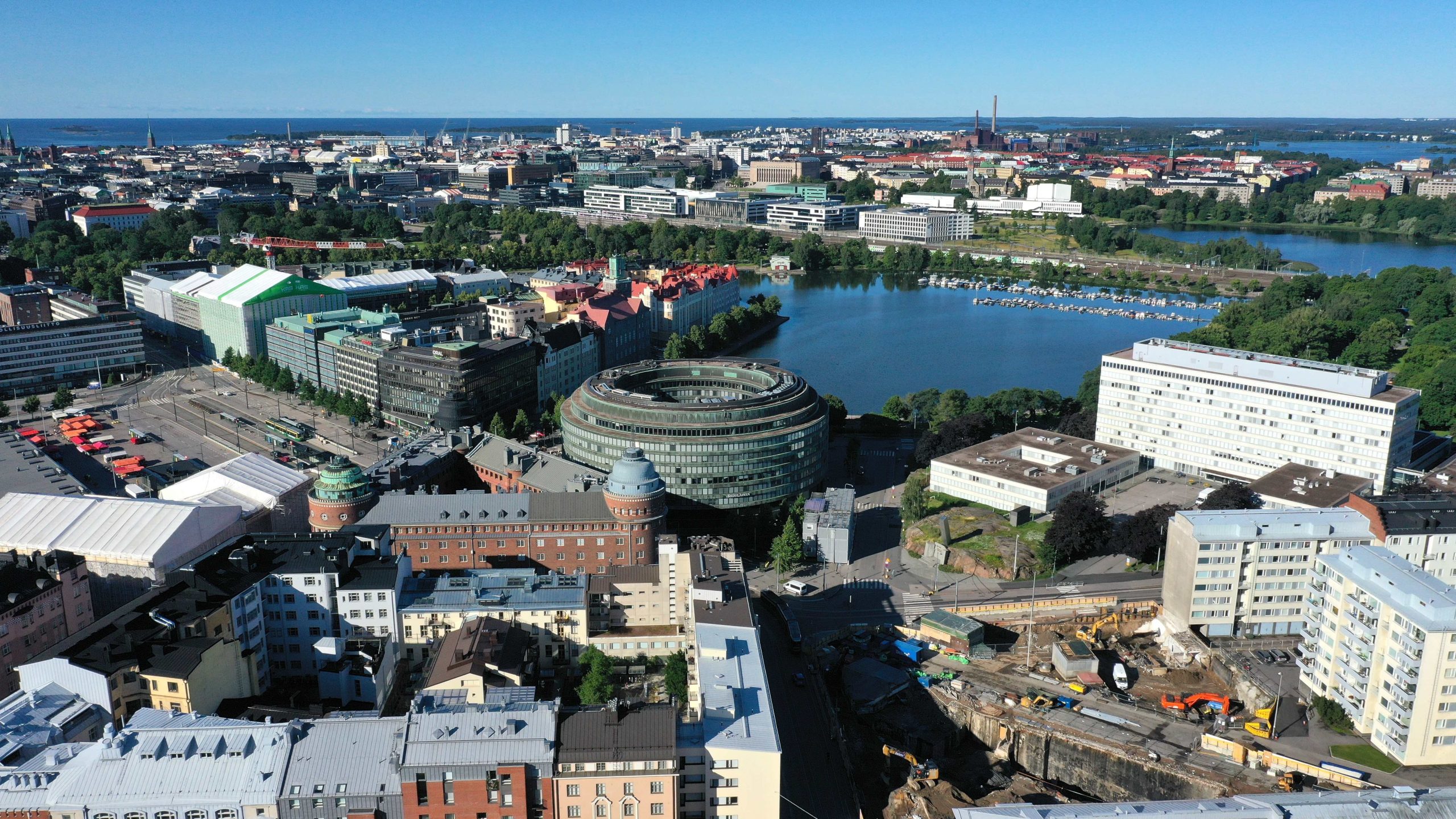
The development of digitalization and geospatial information has revolutionized the way municipalities and cities can plan and manage their areas. One of the most important tools in this transformation is accurate orthophotography – a geometrically corrected map image produced from aerial surveys that provides a dimensionally accurate view of reality.
With current drone technologies, producing orthophotos is faster and more cost-effective than ever. Modern drone equipment is capable of mapping up to 100 km² in a single day with approximately 3 cm accuracy – a result that only a few years ago would have required significant resources and time.
What does orthophotography mean?
Orthophotos combine the best aspects of aerial imaging and cartographic accuracy: they show an area naturally, as seen from the air, while also being dimensionally accurate and georeferenced. This allows them to be used directly in planning, analysis, and measurement work without separate corrections.
During the same survey, it is also possible to produce a point cloud or 3D model, enabling accurate analysis of elevation differences and structures, visual city models, and three-dimensional presentations to support decision-making.
Benefits for municipalities and cities
1. Zoning and land use planning
Orthophotos provide up-to-date and accurate base material for different phases of zoning and land use planning in both municipalities and cities. They can be used to:
- monitor changes in land use and construction progress,
- identify new construction and development sites,
- evaluate landscape impacts and infrastructure placement,
- support urban planning with visual 3D models.
When planners have access to centimeter-level orthophotos and 3D models, decision-making becomes faster and the risk of errors is significantly reduced.
2. Infrastructure and municipal engineering management
Orthophotos and point clouds support the management of street networks, water infrastructure, and green areas – in both small municipalities and large cities. They enable:
- monitoring of street and road wear,
- observation of stormwater areas and water bodies,
- management of green areas and tree stands.
When these datasets are integrated into geospatial and GIS systems, maintenance and planning are always based on up-to-date data.
3. Building control and property taxation
Up-to-date orthophotos help identify unauthorized structures and building extensions. This supports fair property taxation and facilitates supervision.
3D models can also be used to accurately and visually assess elevations, compliance with regulations, and shadowing.
4. Environmental monitoring and safety
Orthophotos and 3D datasets are excellently suited for monitoring environmental conditions, such as erosion, forest damage, and flood-prone areas.
They also provide a real-time situational overview for rescue services and authorities, for example during floods, storms, and other crisis situations.
Why municipalities and cities should not invest in their own drone equipment
Many municipalities and cities consider whether drone surveys should be carried out in-house. In practice, however, this is rarely the most cost-effective solution.
Drone surveying and photogrammetry involve:
- a significant equipment investment (drones, sensors, cameras, software, and backup equipment),
- specialized training and permit processes (Traficom, VLOS/BVLOS),
- responsibility for flight safety and data handling,
- and the commitment of time and personnel resources.
For municipalities and cities, resources are often better allocated to utilizing and analyzing the data rather than collecting it.
For this reason, it is often financially and operationally more sensible to outsource orthophotography and mapping to industry professionals – such as SK Drones Oy. We already have the equipment, expertise, flight authorizations, and know-how to deliver data quickly, safely, and to a high standard.
SK Drones Oy – a reliable partner for drone mapping
SK Drones Oy is a Finnish pioneer in drone imaging and mapping services. We provide high-quality orthophotography, 3D modeling, point cloud datasets, and drone laser scanning for both municipalities and cities.
Why choose SK Drones Oy?
- Operations started in 2018
- Traficom-approved operator meeting the requirements of the specific category
- Equipped with the latest drone and surveying technology
- Turnkey delivery of orthophotos, point clouds, 3D models, and analyses
- Trusted by multiple cities, municipalities, construction companies, and industrial enterprises
Would you like up-to-date orthophotos for your municipality or city?
Contact SK Drones Oy and request a quotation for orthophotography, point clouds, or 3D modeling.
info@skdrones.fi
050 911 2575
www.skdrones.fi