Construction project management and monitoring using drone-based photogrammetry
Construction projects are often multi-phase and schedule-challenging entities in which success depends on accurate monitoring, documentation, and information flow.
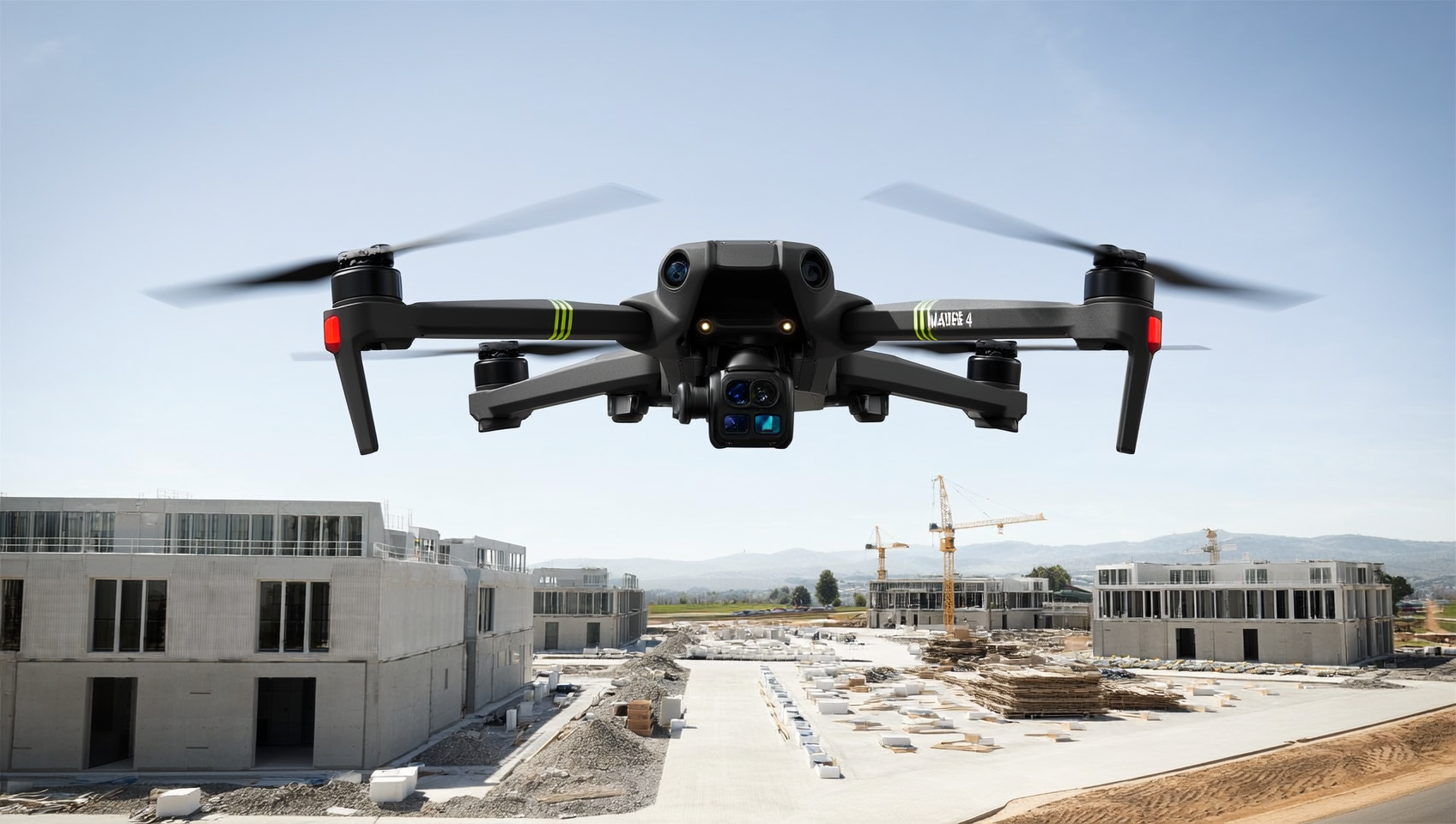
One of the most effective modern solutions for this is drone-based photogrammetry – an accurate and fast way to model a construction site in three dimensions.
What is photogrammetry?
Photogrammetry refers to a method in which an accurate 3D model or orthophoto map is produced from multiple aerial images.
The drone captures hundreds or thousands of images from different angles, and software combines them into a single dimensionally accurate model.
The result is a visually accurate and scaled representation that can be utilized in the planning, monitoring, and reporting of a construction project.
1. The importance of accurate baseline data
A drone survey carried out at the beginning of the project provides up-to-date and accurate baseline data on terrain forms, structures, and the surrounding environment.
This helps, for example, in planning the earthworks phase and ensures that all parties are working from the same reliable data.
2. Monitoring and documenting progress
With regularly repeated drone surveys, it is possible to compare the progress of the construction site at different points in time.
Using 3D models, it is easy to verify the completion of work phases, earthmoving, and changes in structures.
The images and models also serve as valuable documentation for project supervision and reporting to the client.
3. A tool that saves time and money
Traditionally, construction site measurements and documentation have required a great deal of manual work and on-site presence.
Drone photogrammetry reduces this need: measurements can be carried out quickly and safely remotely.
In most cases, the accuracy is sufficient even to the centimeter level – without needing to interrupt site operations.
4. A shared view for all parties
One of the greatest benefits is a shared visual view of the project.
The 3D model can be viewed online, shared with designers, supervisors, and the client, and used to support decision-making.
When everyone sees the same situation in real time, the number of errors decreases and collaboration becomes more efficient.
5. Quality, safety, and responsibility
Drone surveys reduce the need to move around hazardous areas of the construction site and thus improve safety.
In addition, accurate monitoring helps detect deviations early, which supports quality management and responsible construction.
Summary
Drone-based photogrammetry brings a new level of accuracy and transparency to construction project management.
It saves time, reduces costs, and improves information flow at all levels.
SK Drones offers comprehensive photogrammetry services for construction industry professionals – from planning to construction site monitoring and reporting.
Contact us, and we will show you how drone data can make your next project even more controlled and efficient.