
Drone Data Is the New Standard in Construction: How Drone Surveys Change Site Monitoring
Drone-captured data is fast becoming the new standard in construction projects. Regular drone surveys deliver a centimetre-accurate orthophoto, point cloud and terrain model, plus a time series that shows objectively what was done on site and when.
Only a few years ago, a drone on a construction site was a curiosity. Today the picture is different: geospatial data captured by drones is becoming part of the basic infrastructure of construction projects, alongside BIM models and the digital site diary. This post looks at why drone data is emerging as the industry’s new standard, what that means in practice, and how a project gets the full benefit from it.
Why is drone data becoming the standard now?
Three developments have converged. First, the accuracy of aircraft and sensors has improved to the point where an RTK-positioned drone and photogrammetry routinely deliver centimetre-level accuracy. Second, data processing is cloud-based: a point cloud or orthophoto is in the client’s browser the same day, with no heavy software required. Third, clients – especially large developers, infrastructure projects and data centre builders – have started to require regular, documented situational awareness as part of their contracts. When the requirement comes from the client, it becomes the standard.
What is drone data in practice?
Drone capture is not just impressive aerial photography. A single flight typically produces several data products:
- An orthomosaic: a measurable, georeferenced aerial map of the entire site.
- A point cloud and 3D model, from which distances, areas and volumes can be measured (see drone 3D modelling and drone laser scanning).
- A terrain model for tracking earthworks and the progress of excavations.
- A time series, when the same area is flown weekly or monthly with identical parameters.
The time series is what turns a one-off survey into a standard. When a site is documented regularly and comparably, an objective record emerges of what was done and when. Read more about drone mapping.
Benefits for every party in the project
Developers and site supervisors get an independent view of the site without a site visit. Progress can be compared against the schedule, and invoicing against work actually completed.
Contractors can verify material quantities and milestones with documentation, which reduces disputes over additional and variation work. A volume measured from a point cloud is indisputable in a way that delivery notes are not.
Designers can compare as-built conditions against the BIM model and spot deviations before they are covered by the next phase of work.
Safety improves when hard-to-reach areas – roof structures, excavations, the surroundings of cranes – are inspected from the air without putting people at risk.
Quality comes from the process, not just the drone
Anyone can buy a drone, but accurate and reliable data only comes from a controlled process. That includes signalised ground control points or RTK/PPK positioning, standardised flight parameters, documented accuracy verification, and professional processing and quality assurance.
Equally important is that operations are authorised and insured. In Finland, flying over construction sites and populated areas often requires a specific category operational authorisation from Traficom and a risk assessment. A specific category authorisation allows flying over an active work site without halting work or arranging extra site inductions. When drone data forms part of a project’s official documentation, it is reasonable to demand the same standard from its provider as from any other surveying or expert service.
How to write drone data into a project contract
A standard only becomes real when it is in the contract. Our practical recommendations:
- Define the capture frequency by work phase – weekly during earthworks, less often during the structural phase.
- Agree the deliverable data products and formats (for example GeoTIFF, LAS/LAZ, an IFC-compatible model) and the coordinate reference system.
- Require an accuracy report for every capture.
- Make sure the data is available to all parties from a single location and is retained after the project ends.
Looking ahead: automated drone docks
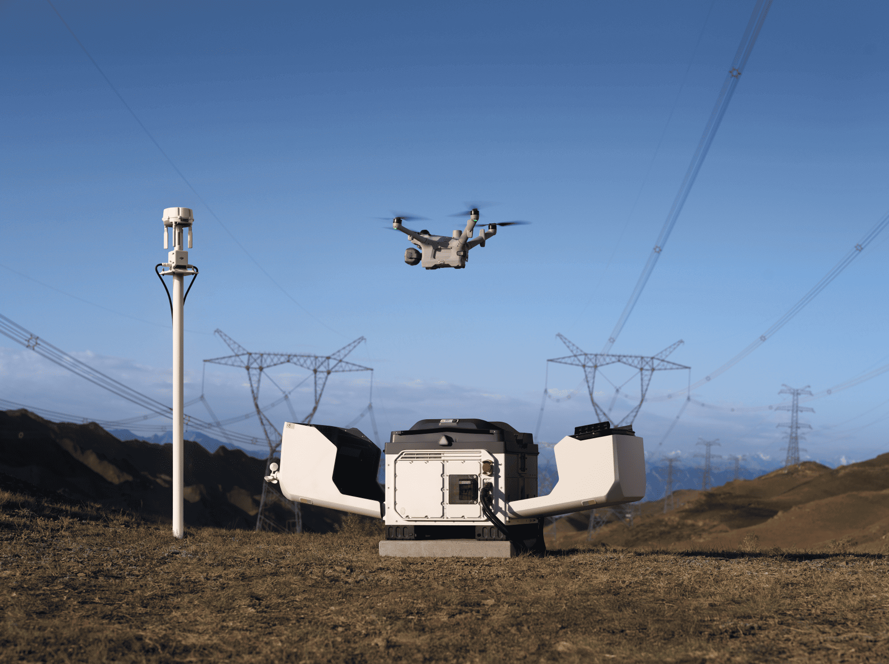
The next step is already in sight: automated drone docks such as the DJI Dock 4, which fly the site on a programmed schedule without a pilot on location, and AI-based change detection from the time series. As these become common, the question is no longer whether a site is documented from the air, but how often and how automatically.
Drone data does not replace the surveyor, the supervisor or the BIM model – it ties them together with an up-to-date, verifiable picture of the site. That is why it is the new standard in construction.
Frequently asked questions about drone data in construction
What does drone data mean in construction?
Drone data is geospatial data captured by drone, such as orthophotos, point clouds, 3D models and terrain models. In construction projects it is used to track site progress, calculate quantities and compare as-built conditions against the BIM model.
How accurate is drone mapping?
With an RTK- or PPK-positioned drone and ground control points, centimetre-level accuracy is routine. Accuracy is verified and reported for every capture.
How often should a construction site be captured by drone?
Typically weekly during earthworks and monthly or less often during the structural phase. The frequency should be agreed according to the work phase and the client’s needs.
Can a drone fly over an active construction site?
Yes, when the operator holds a Traficom specific category operational authorisation. SK Drones has held one since 2018, so flights can be carried out without halting work or arranging extra inductions.
Where does SK Drones operate?
SK Drones operates throughout Finland, with pilots based in Helsinki, Tampere, Jyväskylä and Oulu, and also covers areas such as Turku.
SK Drones Oy is a professional UAS operator that has held a Traficom specific category operational authorisation since 2018, producing site documentation, drone surveys and geospatial data products across Finland. Get in touch and we will design a capture programme to suit your project.