
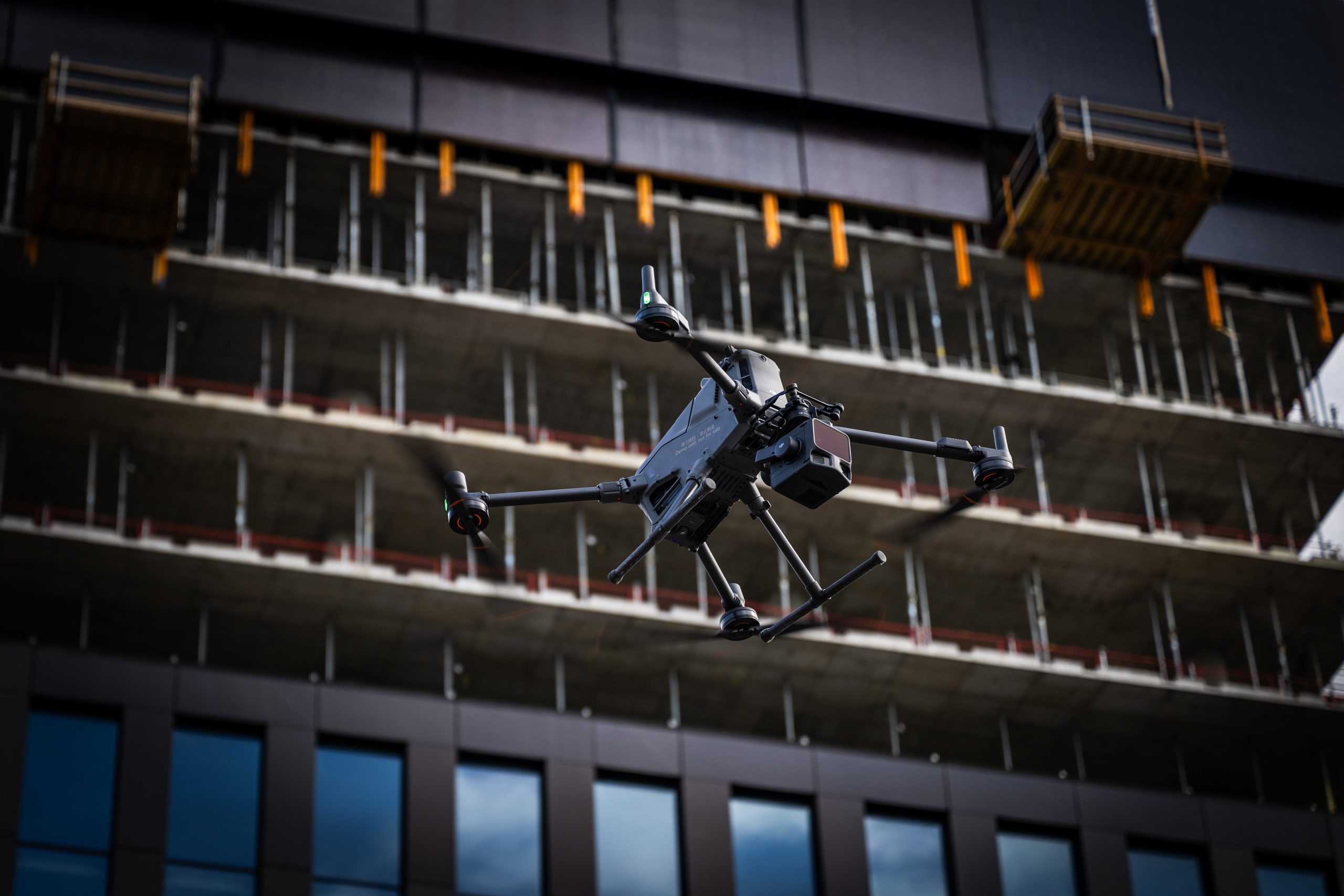
Drone Data Across Project Phases
Site Survey and PreDrone Data for Data Center Projects: Precision from Planning to Operational Maintenance
Data center construction is one of the fastest-growing categories of infrastructure investment in Finland — and also one of the most demanding. Schedules are tight, the margin for error is small, and once construction ends, the facility is monitored and maintained continuously for decades. Under these conditions, drone-based mapping, laser scanning, and thermal imaging aren’t just a nice addition — they become an essential part of managing information across the entire project.
Why Data Center Projects Benefit From Drone Data
Data centers differ from typical construction projects in three ways: schedules are tight, the cost of errors is high, and the facility’s operational lifespan is long and continuously monitored. Drone data addresses all three challenges directly:
- Speed – a large-area terrain model or orthophoto can be produced in hours, not weeks.
- Accuracy – laser scanning produces centimeter-level point clouds, precise enough for design, tendering, and as-built verification.
- Repeatability – the same area can be surveyed weekly or monthly using an identical method, keeping comparisons reliable over time.
- Safety – roofs, rooftop cooling units, and tall structures can be inspected without sending anyone to work at height.
Drone Data Follows the Project Through Every Phase
Before the first excavator arrives, a reliable baseline is essential: elevation models, vegetation, existing infrastructure, and potential obstacles. Photogrammetric mapping and laser scanning provide this foundation and feed it directly into design systems.
During construction, a data center site typically has multiple contractors working in parallel — earthworks, foundations, electrical, HVAC. Weekly or biweekly drone surveys deliver an up-to-date situational picture that can be compared directly against the schedule and design. Deviations get caught early, before they become costly.
As completion approaches, as-built documentation takes center stage. Finland’s updated 2025 Building Act requires machine-readable, accurate documentation — and point clouds produced by drone laser scanning, along with the BIM/IFC-compatible models derived from them, meet these requirements. The same data also serves as valuable baseline information for the facility’s entire lifecycle.
Once the data center is operational, the focus shifts to maintenance. Thermal imaging of cooling systems, electrical substations, and rooftop equipment reveals developing faults — loose connections, overheating components, insulation leaks — before they cause downtime. Regular, documented inspection cycles are often also part of an operator’s own risk management and insurance requirements.
When Individual Flights Become a Continuous Process
A single drone flight solves a single need. But the real value in a data center project emerges only once mapping, inspection, and monitoring become a continuous, autonomous process:
- Drone-in-a-box stations enable regular, pre-programmed flights without requiring a pilot on site every time — ideal for recurring tasks like weekly progress surveys or monthly thermal inspection rounds.
- BVLOS operations, authorized through Traficom’s special category using the SORA methodology, allow flights beyond visual line of sight, covering larger areas in a single flight and reducing operational overhead on large campus sites.
- Automated data processing ensures that once flight paths and the processing pipeline are defined, results are reproduced at the same quality level flight after flight — a prerequisite for comparable, long-term monitoring.
- Integration with facility management systems feeds repeatedly collected thermal and situational data directly into those systems, surfacing anomalies automatically instead of requiring manual comparison each time.
The real payoff is continuity: the same data model that originates in the early planning phase carries through construction monitoring and into operational maintenance. The result is one consistent, comparable dataset across the entire lifecycle — not a series of disconnected measurements.
Autonomous solutions don’t replace skilled operation and interpretation, of course. What they do is make continuous, regular data collection practically achievable, even on large, long-running projects.
Summary
A data center project demands accurate, up-to-date information at every stage — from early planning through operational maintenance. Drone-based mapping, laser scanning, and thermal imaging, combined with autonomous solutions, provide a continuous, repeatable, and precise data foundation for that entire journey.
SK Drones Oy has provided drone mapping, aerial imaging, and laser scanning services in Finland since 2018, operating under Traficom’s special category authorization. Get in touch to discuss how drone data can support your data center project.