
What Is Gaussian Splatting? Photorealistic 3D Models from Drone Data
Gaussian splatting is a 3D modeling technique that turns drone images into a photorealistic 3D view you can freely rotate and explore. It often reproduces fine detail, reflections and thin structures more naturally than photogrammetry, but it is primarily visualisation data and does not replace a survey-grade 3D model. In this article we explain how the technique works, how it differs from photogrammetry and what it is best used for.
What does Gaussian splatting mean?
Gaussian splatting (3D Gaussian Splatting, 3DGS) is a 3D modeling method that represents a site as millions of small, semi-transparent “splats”. Each splat has its own position, size, colour and orientation. Together they form a 3D view you can rotate and zoom smoothly, like a video you can watch from any angle.
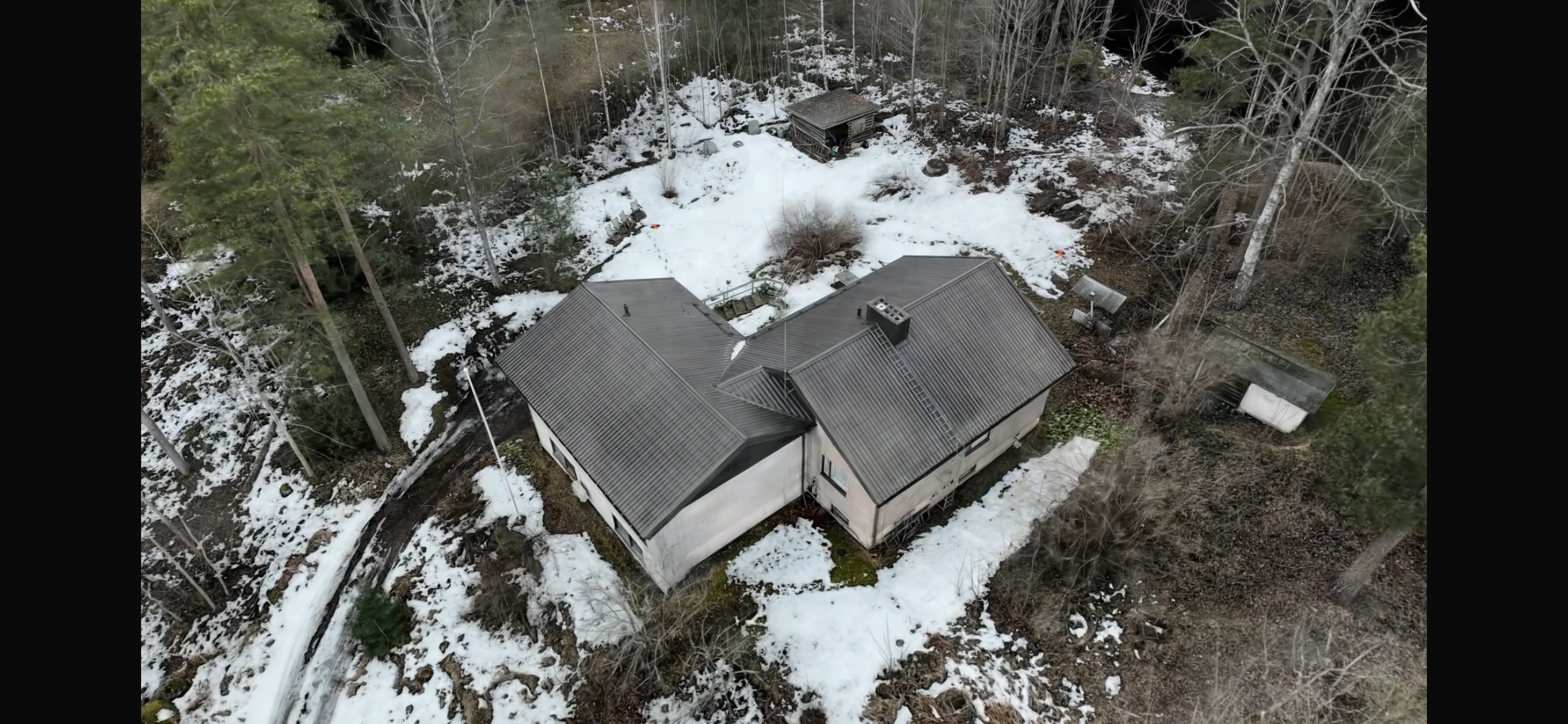
The model is built from overlapping images, just like traditional photogrammetry. The site is photographed with a drone and the 3D representation is computed from the images.
How does it differ from photogrammetry?
Photogrammetry builds a triangulated surface mesh and drapes a texture over it. The result is dimensionally accurate and suitable for design, calculation and measurement. Gaussian splatting instead emphasises appearance: it preserves fine detail, reflections and transparency that often break up or blur in a conventional model.
| Photogrammetry (3D mesh) | Gaussian splatting | |
|---|---|---|
| Main use | Measurement, design, calculation | Visualisation, presentation, documentation |
| Appearance | Good, textured surface | Photorealistic, highly detailed |
| Dimensional accuracy | Centimetre-level, suitable for measurement | Not primarily a measurement dataset |
| Difficult surfaces | Often incomplete | Often reproduced much better |
| Use in CAD/BIM tools | Direct | Limited, needs its own viewer |
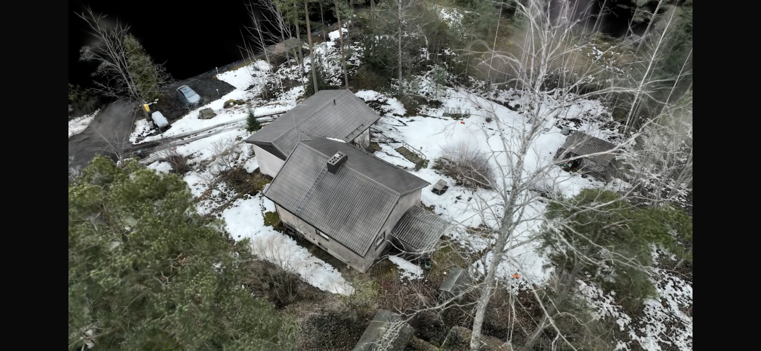
The two methods complement rather than compete with each other. From a single flight we can produce both a survey-accurate drone mapping dataset and an illustrative Gaussian splat model.
Where is Gaussian splatting useful?
The technique adds most value where the model also needs to look real:
- Presenting and marketing sites: properties, construction projects and infrastructure can be shown to decision-makers and clients without visiting in person.
- Construction site documentation: the stages of a project are recorded in a visually clear form.
- Explaining condition and damage: the location and extent of damage is easy to show to people who have not visited the site.
- Complex structures: bridges, masts, industrial plants and lattice structures are often reproduced better than in a conventional model.
- Cultural heritage and historic buildings: surfaces and details are captured faithfully.
- Rescue and security services: visualising situational awareness and exercises.
When should you choose another method?
If you need data for measurement, quantity calculation or design, choose a survey-accurate method. Photogrammetry (drone mapping) is usually enough, and drone laser scanning suits the most demanding sites. A Gaussian splat is added alongside them when the result needs to be presented rather than measured.
What does SK Drones deliver?
We deliver the Gaussian splat model in a viewable format that opens in a web browser or a separate viewer. On request we also produce a traditional 3D model, orthomosaic or point cloud from the same data. We survey sites across Finland with pilots in Helsinki, Tampere, Jyväskylä and Oulu, and we have operated under a Traficom special category authorization since 2018.
Read more about our drone 3D modeling service or contact us and we will tell you whether Gaussian splatting suits your site.
Frequently asked questions
What is Gaussian splatting?
Gaussian splatting is a 3D modeling technique that turns drone images into a photorealistic, freely rotatable 3D view using millions of small coloured points.
Is Gaussian splatting more accurate than photogrammetry?
Not for measurement. Photogrammetry is more dimensionally accurate, while Gaussian splatting often reproduces appearance and detail more naturally.
Can a Gaussian splat model be used for measurement?
Not primarily. For survey-grade work we recommend photogrammetry or laser scanning, which can be delivered from the same visit.
Does SK Drones offer Gaussian splatting?
Yes, across Finland.