
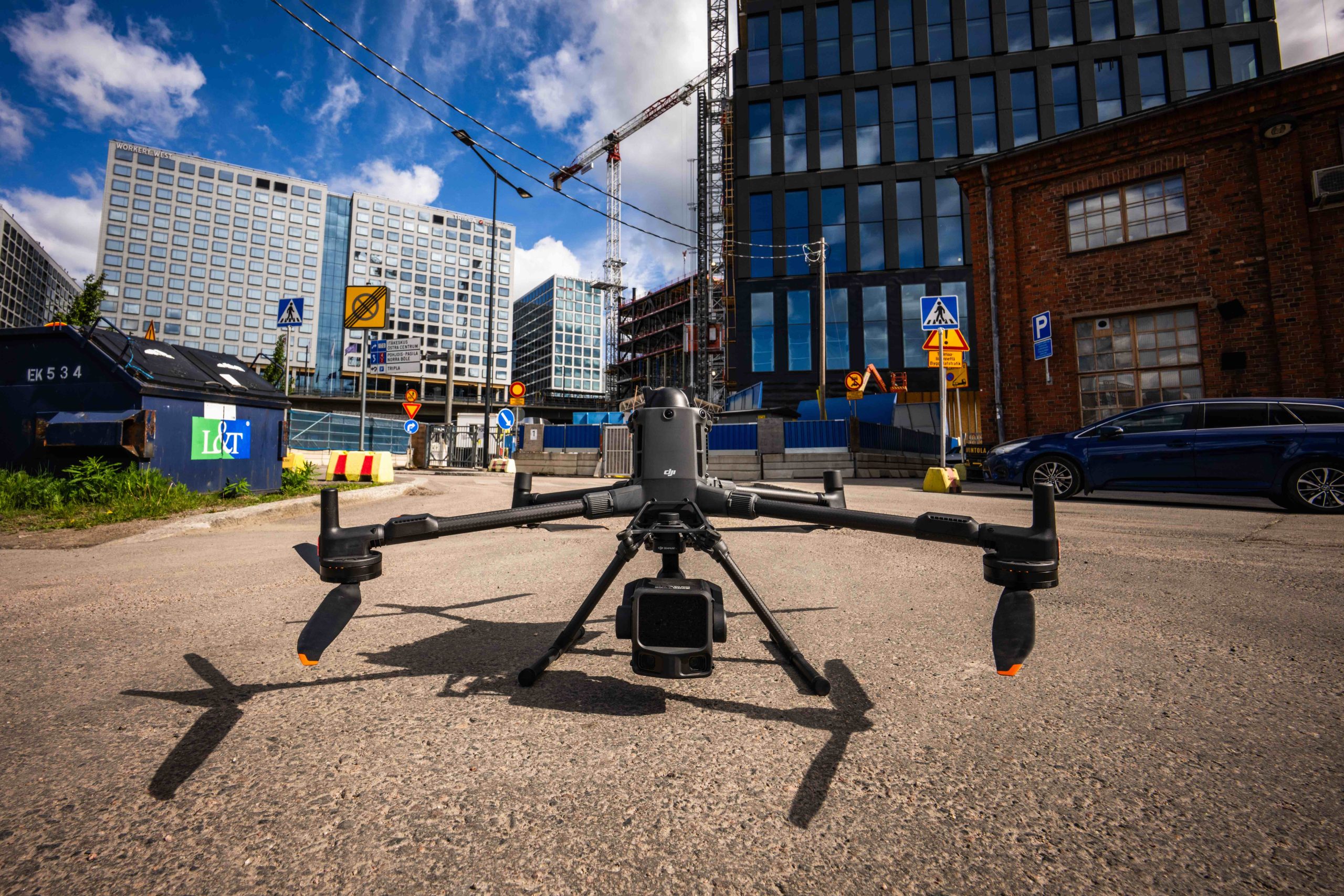
Environmental Impact Assessment with Drones and AI – Faster and More Comprehensive
The schedule of a major project is often decided before the first excavator arrives on site. Environmental impact assessment (EIA, or YVA in Finnish) is the phase where good baseline data saves months and poor data can halt the entire project. In this article, we explain how drone mapping and AI tools help make the EIA faster, more comprehensive and more verifiable.
A topical example comes from this autumn. On 6 October 2026, the Finnish Permit and Supervision Agency (Lupa- ja valvontavirasto) urged a Google subsidiary to suspend environment-altering preparatory works at its Muhos and Kajaani data center projects until the environmental impact assessment is complete. The projects are part of the roughly €13 billion investment package in Finland that Google announced in September.
We take no position on any individual company, and the review is still ongoing. The case is nevertheless a good reminder that, in the worst case, preparations for even a multi-billion-euro project can come to a standstill if environmental impacts have not been assessed before site works begin. The delay also affects municipalities, contractors and local employment.
What the EIA requires and where projects stumble
The purpose of the EIA procedure is to assess a project’s significant environmental impacts before decisions are made and before substantial preparatory works begin. For example, permanently clearing a continuous forest area of more than 200 hectares for another use requires an assessment. Data centers, wind farms, mines, industrial areas and large transport infrastructure projects often fall within the scope of the procedure.
The assessment requires comprehensive information about the project area:
- landforms, elevation and catchment areas
- tree stands, vegetation and habitat types
- water bodies, streams, ditches and wetlands
- valuable natural sites and habitats of protected species
- landscape and views towards surrounding settlements
- the baseline against which later changes are compared
When the project area covers hundreds of hectares, traditional field surveys are slow and fragmented. This is exactly when schedule pressure builds and the temptation to start work before the assessment is greatest.
How drones produce baseline data for the EIA
A drone can map an area of hundreds of hectares in days and produce a consistent, georeferenced dataset covering the entire project area. Different sensors answer different questions:
| Method | Output | Use in EIA |
|---|---|---|
| Aerial mapping (orthophoto) | Centimetre-accurate map image | Delineating habitat types, documenting baseline land use |
| Laser scanning (lidar) | Point cloud, terrain model, canopy height model | Tree stand data, modelling small waters and catchments, landforms |
| 3D modelling | Photogrammetric 3D model | Landscape impacts, viewshed analysis, visualisation at public hearings |
| Thermal imaging | Thermal map | Wetlands, spring-influenced sites, wildlife observations |
| Multispectral imaging | Vegetation indices | Vegetation condition and habitat type separation |
| Repeat monitoring flights | Time series of the same area | Monitoring construction and environmental change |
Drone laser scanning also sees through the tree canopy down to the ground. That is why it reveals stream channels, depressions and ditches that are invisible in aerial imagery.
AI turns data into decisions
A single mapping flight can produce tens of thousands of images and billions of laser points. AI tools process the data quickly and consistently:
- Classification: computer vision separates ground, trees, water areas and structures in point clouds and imagery, and delineates vegetation zones.
- Tree stand attributes: individual tree detection produces stem counts, heights and volume estimates for the entire area.
- Small water detection: stream channels, depressions and wetlands that may be protected by law are located from the terrain model.
- Change detection: when the same area is flown again, AI compares the datasets and shows what has changed, where and by how much.
- Reporting support: language models help compile findings, tables and map appendices into a report template that an expert then reviews.
AI does not replace the ecologist. It directs the expert’s fieldwork to where it is needed most.
What the project gains
- Speed. Mapping the entire project area takes weeks rather than several field seasons. The EIA report can be completed sooner, easing schedule pressure on preparatory works.
- Coverage. The whole area is captured at the same accuracy, not just at sample points. Surprises, such as a previously unknown stream or wetland, come to light in time.
- Verifiability. Dated, georeferenced data documents the baseline. It provides a strong basis for discussions with authorities and in any appeal processes.
- Monitoring. Repeat flights show that works stay within the agreed areas and that permit conditions are being met.
- Engagement. 3D models and visualisations help residents, decision-makers and authorities understand the project’s impacts.
The cost of mapping is small compared with what months of delay cost a billion-euro project.
What drones don’t do
Drones do not identify every species, and they do not replace bird counts, flying squirrel surveys or field vegetation inventories. The best results come from combining airborne data with the observations of field experts. Drone data shows where fieldwork should be focused, and the expert verifies the findings on site.
Mapping flights are carried out in accordance with aviation regulations, and the collected data is processed in compliance with data protection requirements.
SK Drones as your EIA partner
SK Drones produces drone mapping, laser scanning, 3D models and thermal imaging to support environmental impact assessments throughout Finland. We operate from Helsinki, Tampere, Turku, Jyväskylä and Oulu, so projects in Northern Finland are close by as well.
For EIA consultants, project developers and municipalities, we deliver:
- baseline mapping and a terrain model of the entire project area
- AI-processed tree stand, water and land cover data in GIS formats
- repeat change monitoring throughout construction
- 3D visualisation material for public hearings and permit processing
Planning a project that requires an environmental impact assessment? Get in touch early, and we will plan a mapping campaign that supports your schedule rather than slowing it down.
Phone +358 50 911 2575 · Email info@skdrones.fi