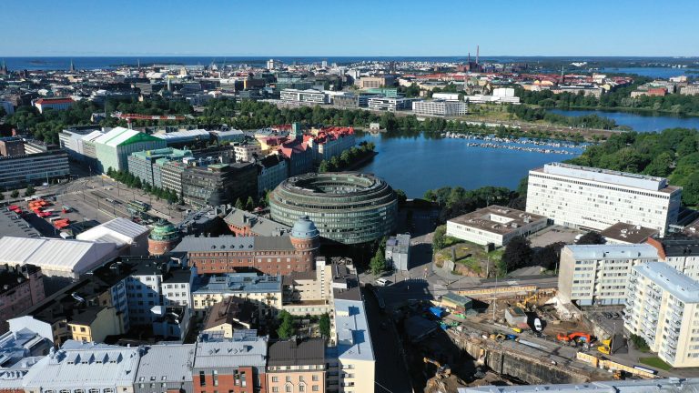
Orthophotos in land use planning
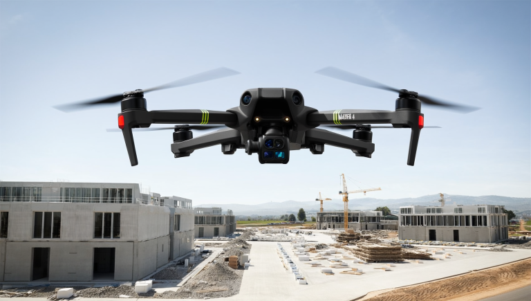
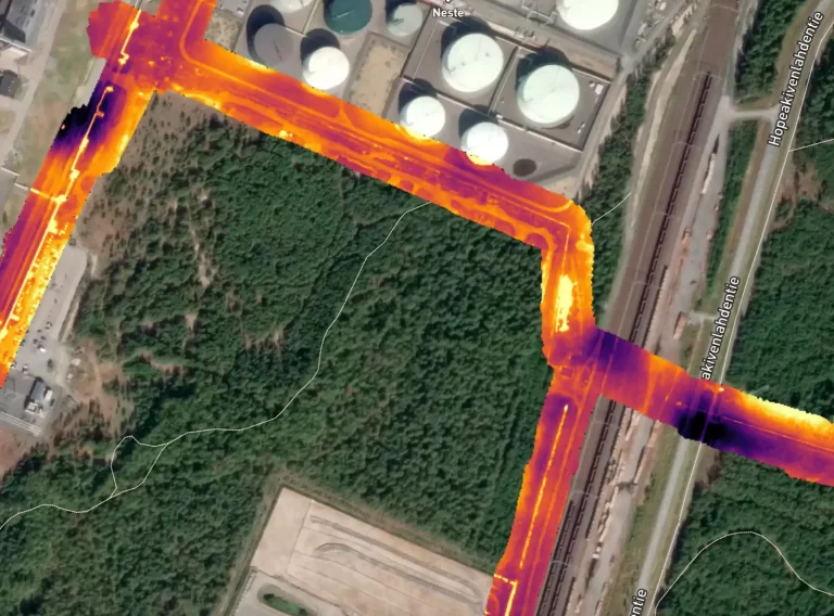
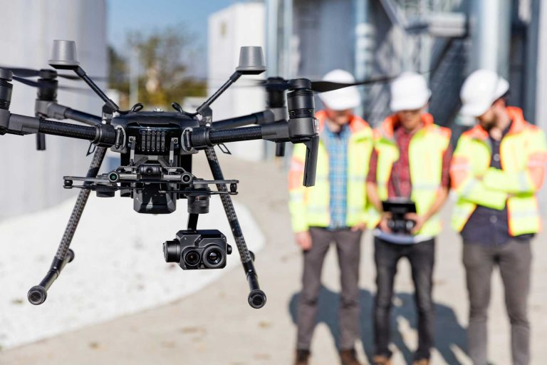
Why municipalities and cities should invest in accurate orthophotos – the foundation of future land use The development of digitalization and geospatial information has revolutionized the way municipalities and cities can plan and manage their areas. One of the most important tools in this transformation is accurate orthophotography – a geometrically corrected map image produced…