Environmental Impact Assessment with Drones and AI – Faster and More Comprehensive
Drone mapping and AI produce EIA baseline data for the entire project area in weeks: terrain models, tree stand and water data, 3D models and change monitoring.

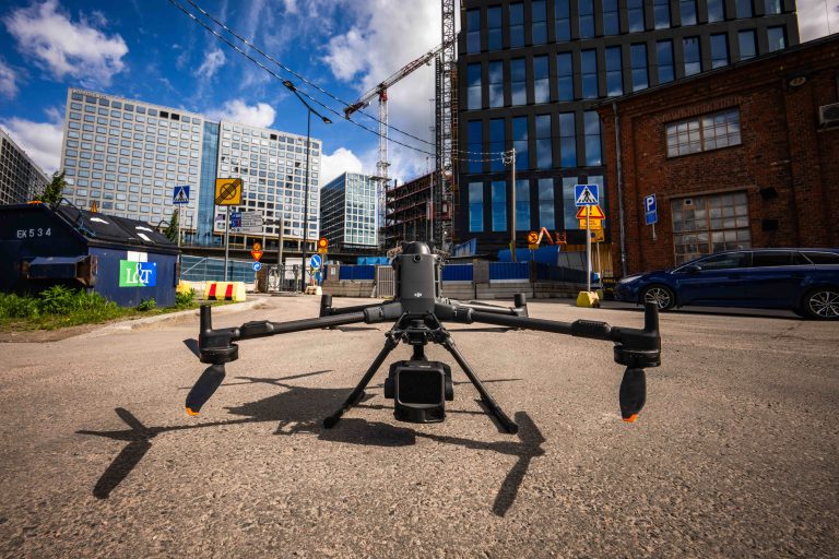
Drone mapping and AI produce EIA baseline data for the entire project area in weeks: terrain models, tree stand and water data, 3D models and change monitoring.
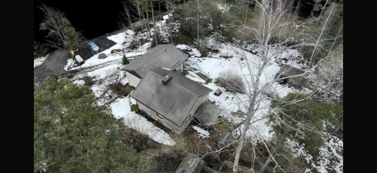
What is Gaussian splatting, how does it differ from photogrammetry, and when should you use it? SK Drones produces photorealistic 3D models across Finland.
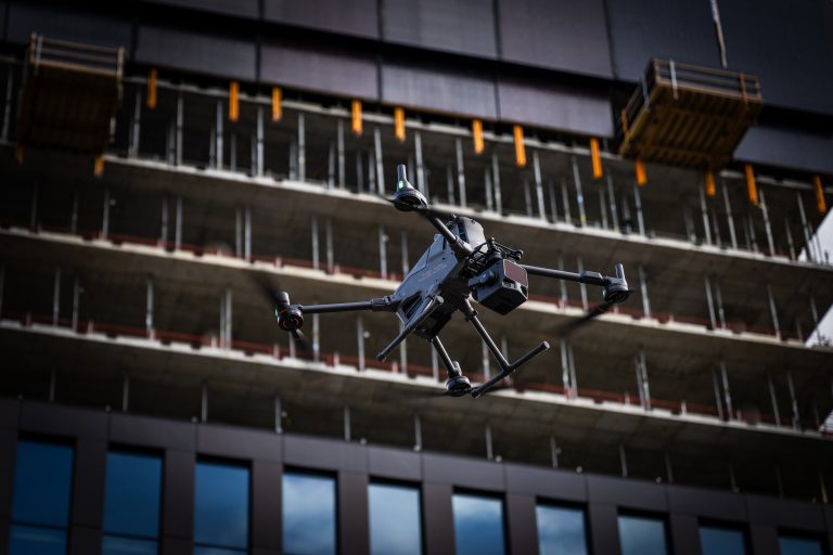
Site Survey and PreDrone Data for Data Center Projects: Precision from Planning to Operational Maintenance Data center construction is one of the fastest-growing categories of infrastructure investment in Finland — and also one of the most demanding. Schedules are tight, the margin for error is small, and once construction ends, the facility is monitored and…